Fish Nodes
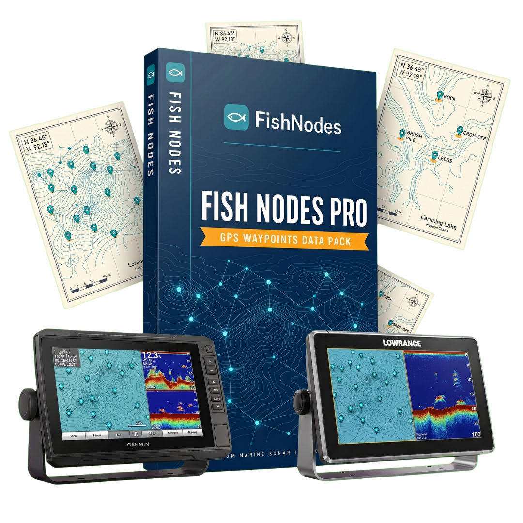
Fish Nodes Pro - GPS Waypoints Data Pack
Fish Nodes Pro - GPS Waypoints Data Pack
Couldn't load pickup availability
Stop searching. Start fishing.
FishNodes Pro gives you 11,981 verified GPS waypoints across 464 lakes in 18 states, loaded directly onto your fishfinder in minutes. No guide trip. No hours idling around. Just open the lake, go straight to the fish.
What's Inside
Every waypoint is labeled, categorized, and ready to load:
- Fish Attractors — official state-deployed structures with exact GPS coordinates
- Creek Channels — submerged creek beds, bends, and intersections
- Ledges — drop-offs, breaklines, and depth transitions
- Points — main lake and secondary points
- Rock Piles — natural and artificial rock structure
- Humps — underwater ridges and high spots
- Road Beds — submerged roads from pre-flood surveys
- Bridge Pilings — original bridge locations now underwater
- Stump Fields — timber areas and standing wood
Works With Your Fishfinder
Three formats included — one purchase covers all brands:
- Garmin (.gpx) — echoMAP, STRIKER, GPSMAP
- Lowrance (.usr) — Hook, Elite FS, HDS Live, HDS Carbon
- Humminbird (.hwr) — Helix, Solix, Onix
How It Works
- Purchase and download instantly
- Copy the file for your brand onto your SD card
- Import via your fishfinder menu
- Every waypoint appears on your chart, named, labeled, ready
Done in under 5 minutes. Step-by-step instructions included for every brand.
464 Lakes. 18 States.
Arkansas · Alabama · Florida · Georgia · Illinois · Indiana · Kentucky · Louisiana · Michigan · Minnesota · Missouri · North Carolina · Ohio · Oklahoma · South Carolina · Tennessee · Texas · Wisconsin
Why FishNodes
We give you 464 lakes. That's verified GPS data from official state fish attractor programs, Army Corps of Engineers records, and public angler sources, aggregated, cleaned, and formatted so you don't have to. The data exists. We did the work so you don't have to.
Instant Download. No Subscription.
Share